← Home · Geophysics

Electrical Resistivity & VES Surveys in Wexford: Accurate Subsurface Profiling

Together, we solve the challenges of tomorrow.

LEARN MORE →

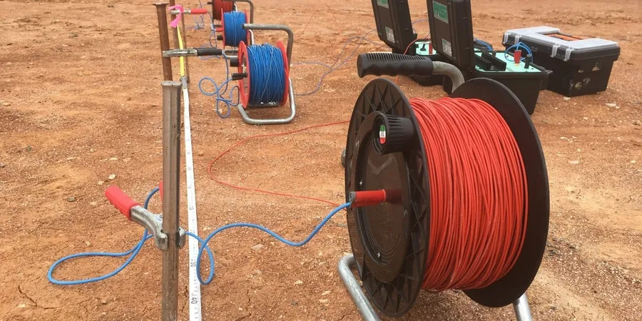
The glacial tills and interbedded sands that shape Wexford’s landscape create a complex subsurface that standard boreholes alone rarely capture. With annual rainfall exceeding 1,000 mm across the county, variations in soil moisture directly affect resistivity contrasts, making autumn surveys particularly revealing for mapping clay lenses beneath alluvial gravels. We deploy vertical electrical sounding (VES) and 2D resistivity imaging to trace the interface between the weathered Ordovician shale bedrock and the overlying drift deposits, a critical step before designing foundations or infiltration systems. A CPT test can verify the low-resistivity zones we identify, while a MASW profile adds shear-wave velocity data for a complete geotechnical model. Our team operates in Wexford town, Gorey, Enniscorthy, and across the rural townlands, bringing a practical approach to each site investigation.

A well-executed VES survey in Wexford's glacial terrain can map a buried bedrock channel in an afternoon, saving days of drilling.

Methodology and scope

The soil profile between Wexford’s harbour quays and the elevated drumlin areas north of town can differ by over 15 ohm-m within a few hundred meters. Near the Slaney estuary, saline intrusion pushes apparent resistivity below 10 ohm-m in silty clays, whereas the same clay unit further inland might read 25-40 ohm-m once freshwater dominates the pore space. We calibrate our Wenner and Schlumberger arrays against local lithology logs to distinguish natural clay from contaminated fill, a distinction that matters for site classification under I.S. EN 1997-2. In areas where gravel lenses complicate the interpretation, a test pit provides a direct visual check on the resistivity contact. For projects requiring bearing capacity validation, the resistivity data pairs well with SPT drilling to confirm refusal depths before finalizing the foundation design. Every profile includes a measured AB/2 spacing up to 100 meters, sufficient to resolve features down to 30 meters depth in typical Wexford drift.
Electrical Resistivity & VES Surveys in Wexford: Accurate Subsurface Profiling
Technical reference image — Wexford

Local considerations

In Wexford, we see too many site investigations that rely solely on a few boreholes, missing a buried valley filled with soft organic silt that sits just 20 meters away. Electrical resistivity tomography catches these lateral changes because the resistivity contrast between compact gravel and saturated peat is dramatic. Skipping a geophysical scan in areas mapped by the Geological Survey of Ireland as Qtz (Quaternary till) risks encountering unmarked sand lenses that can collapse during excavation. For brownfield sites near the old Wexford gasworks or along the quays, resistivity also flags potential leachate plumes that alter concrete durability. The cost of a remediation redesign after hitting unexpected ground far exceeds the price of a preliminary resistivity survey.

Need a geotechnical assessment?

Reply within 24h.

Email: contact@geotechnical-engineering.co

Technical parameters

ParameterTypical value
Array configurationsWenner, Schlumberger, dipole-dipole
Maximum depth of investigation (VES)30-50 m (typical Wexford drift)
2D line length80-400 m
Electrode spacing (2D)2-5 m
Data processingInversion with RES2DINV / EarthImager
Output deliverables2D resistivity sections, pseudo-sections, VES curves
Applicable standardI.S. EN 1997-2:2007, ASTM D6431

Associated technical services

01

Vertical Electrical Sounding (VES)

1D resistivity profiling using Schlumberger array to determine layer thicknesses and resistivities. Ideal for mapping depth to bedrock beneath a single point on a Wexford site.

02

2D Electrical Resistivity Tomography (ERT)

Multi-electrode lines that produce continuous cross-sections. We use this to track sand and gravel channels within the till matrix or delineate a contaminant plume boundary.

03

Groundwater & Aquifer Mapping

Resistivity surveys targeting water-bearing fractures in Ordovician metasediments. Used to locate well sites or assess dewatering requirements for deep excavations.

04

Corrosion & Soil Aggressivity Assessment

Soil resistivity measurement per I.S. EN 12501 to evaluate corrosion potential for buried steel, ductile iron pipes, and earthing system design in Wexford's varied soils.

Applicable standards

I.S. EN 1997-2:2007 (Eurocode 7, Ground investigation and testing), ASTM D6431-18 (Standard Guide for Using the Direct Current Resistivity Method), Geological Survey of Ireland (GSI) Quaternary mapping standards

Frequently asked questions

How much does a resistivity survey cost for a typical residential site in Wexford?

For a standard residential plot in County Wexford, a VES survey with 3-4 soundings or a short 2D ERT line typically runs between €650 and €960, depending on the array length and access conditions.

What depth can electrical resistivity imaging reach in Wexford's glacial soils?

With a maximum AB/2 spacing of 100 meters, we can resolve resistivity contrasts to roughly 25-30 meters depth in the typical till and shale bedrock terrain found around Wexford town and Gorey.

How does the resistivity method distinguish between saturated clay and clean sand?

Saturated clay often reads below 20 ohm-m due to its high cation-exchange capacity, while clean, water-saturated sand frequently exceeds 50 ohm-m. We calibrate these thresholds against local borehole logs in Wexford to refine the interpretation.

Can resistivity surveys be used to find leaks in an earth embankment dam?

Yes. Seepage paths through an embankment create low-resistivity anomalies that 2D ERT can map. We run lines along the dam crest and downstream toe to locate zones of internal erosion before they become visible at the surface.

Location and service area

We serve projects across Wexford and its metropolitan area.

View larger map